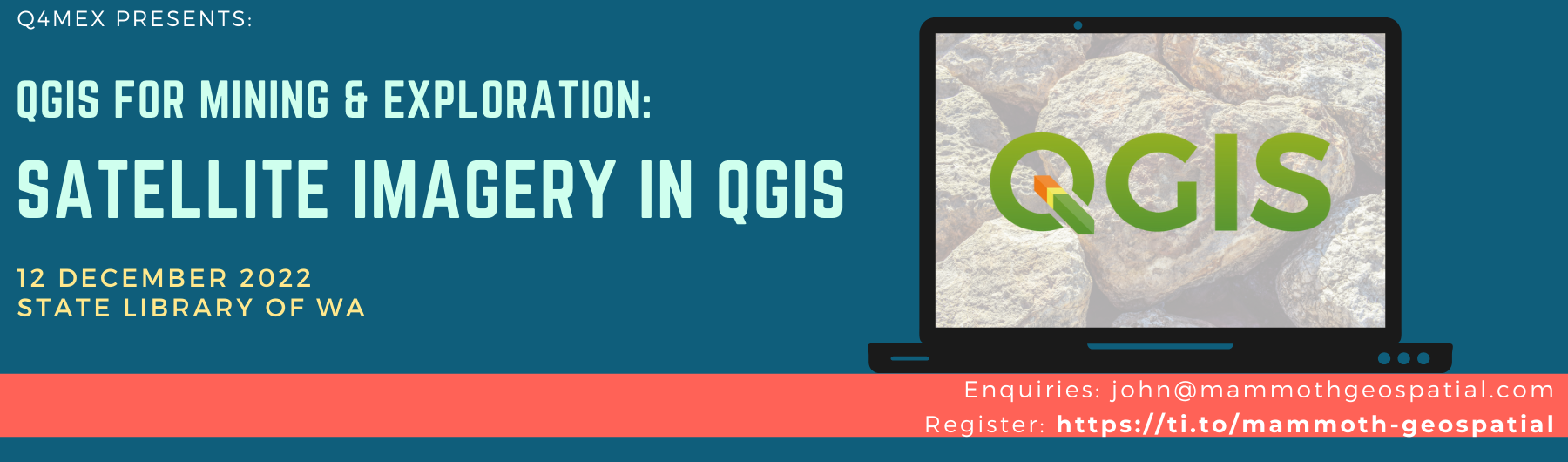
Satellite Imagery in QGIS for Mining & Exploration
QGIS workshop for mining & exploration professionals
SOLD OUT - Please subscribe to our mailing list to be notified of the next workshop.
Join us for this half-day session on using and processing satellite imagery in QGIS, led by Grant Boxer.
The workshop
This short course is designed for those who would like to know what free satellite data is available for use in mineral exploration or other earth observation activities. A brief overview will be given of the various satellite data sets available.
Participants will be guided through how to source, download, and process ASTER and Sentinel 2 imagery and produce RGB images of various spectral bands to enhance features of interest.
We'll explore using ASTER and Sentinel 2 data in various workflows, covering image processing, band ratioing, basic mineral mapping and PCA analysis for enhancing geological and other surface features.
Register logins at the USGS here and for the European Space Agency Sentinel portal here. This is required to allow for searching and downloading data.
Who should attend
Geologists, geophysicists, earth scientists, environmental scientists, anyone monitoring earth surface processes.
Certification
Mammoth Geospatial is an official QGIS Certifying Organisation. Successful participants in our workshops will receive an official QGIS certificate. The certificate program provides a mechanism to financially support the QGIS project.
About QGIS
Mining & exploration companies worldwide are adopting QGIS because it's powerful, easy to use, and free.
QGIS is a free and open source GIS that runs on all major operating systems. It’s available in about 40 languages and used worldwide by a large and growing user community. New features are added at a dizzying pace by a talented global team of developers.
QGIS is professional grade and can do the majority of data import, data display, analysis and map production required by today’s geoscientists. A wide variety of free geological symbols and patterns are available for mapping, and a growing number of plugins are available to support your geoscience workflow.
Tickets
Additional Information
What else do I need to know?
Schedule: The workshop runs from 9 am - 1 pm.
Venue: State Library of Western Australia, L4, Great Southern Room. Public access is via one flight of stairs from level 3. For those who have difficulty with stairs, there is a staff lift that goes to level 4 (see this page for details).
What to bring: Bring your own laptop with a recent version of QGIS installed (we’ll provide more information when you register). A mouse with scroll wheel is recommended.
AIG members are eligible for a discounted registration and CPD points.
Class size: Maximum 16 participants.
Cancellation policy: We accept cancellations up to 7 days before the workshop. If we need to postpone the workshop, we'll move it to another date and keep you enrolled or cancel at your discretion. Cancellations may incur a 10% processing fee to cover non-refundable ticketing platform fees.